

When the U.S. Army Corps of Engineers started building coastal flood protection over 60 years ago, they weren’t thinking about climate change, but a PhD student at Princeton University shows that old Army Corps projects may hold valuable insights for future climate adaptation efforts.
By D.J. Rasmussen (STEP PhD student)
Grandpa’s flooded garage
On the third day of November 2012, Joseph D’Amelio sat on his front porch looking down 14th Street. For over five decades, he and his wife had shared coffee on countless Saturday mornings in that same spot. It normally would have been unusual for D’Amelio to be out on the porch this late into the year, but this particular morning was unusual. A cacophony of construction noises rang throughout the Broad Channel neighborhood of Queens. Diesel engines idled loudly. The back-up alarms on a half dozen dump trucks rang out simultaneously. Workers were attending to two homes in the neighborhood that had collapsed into Jamaica Bay just days earlier. Joseph D’Amelio sat and thought about the families who lived in those two homes, the once-in-a-lifetime storm that caused their destruction, and something he had discovered in his garage just a few hours ago.
For those who have never visited Broad Channel, they might be surprised by what they see. This corner of New York City resembles little of what someone might think of when they imagine the Big Apple. Instead of skyscrapers, taxis, and bright lights, visitors of Broad Channel are greeted by something resembling more of a small, quiet New England fishing community.
Broad Channel is situated in the middle of Jamaica Bay, an 18,000-acre wetland estuary filled with islands, meadowlands, and a labyrinth of waterways. Jamaica Bay is also home to several Queens neighborhoods and John F. Kennedy International Airport, the busiest airport on the east coast. D’Amelio often took his fishing skiff out to troll for striped bass on the edge of the bay’s marsh banks, sometimes with his three grandchildren.

Broad Channel is also one of New York City’s lowest lying neighborhoods. To prevent severe flood damage, the first floor of many of the residences in Broad Channel sit atop either concrete pilings or a single car garage. Joseph D’Amelio is no stranger to floods. Over the past half century, he had personally witnessed many of the strongest nor’easters and hurricanes, including Hurricane Gloria in 1985, the December 1992 nor’easter, and Hurricane Irene in 2011. Each time his property had survived with little damage. But all that changed a few days ago. Earlier that week, the D’Amelio residence’s garage was flooded by Hurricane Sandy.
The D’Amelio’s home sat atop a garage just big enough to squeeze in a 1950’s Chevrolet. But instead of accommodating a car, the D’Amelio’s garage now served as a storage unit filled with fishing gear, dusty equipment from Joseph’s firefighting career, and boxes of old forgotten junk.
Joseph D’Amelio had spent the past few days cleaning up the aftermath of the flood in his garage. In the process, something peculiar popped out at him. It was a small booklet, nearly fifty years old. The paper of the booklet had browned over the years, giving it a distinct vintage look. In it, a proposal was described for a massive barrier across the Rockaway Inlet, the western entrance to Jamaica Bay. In 1960, Hurricane Donna had reminded New Yorkers how exposed the Jamaica Bay region was to flood waters produced by coastal storms.
The report D’Amelio had found was written by the U.S. Army Corps of Engineers, the primary government agency tasked with managing flood risks. The intention of the Army Corps proposal was to keep storm water out of the Bay. The plan had been distributed in the mid 1960s, just after the D’Amelios had first moved into their 14th Street home. At the time, Joseph and his wife hadn’t paid much attention to the plan; they were too busy taking care of their three young children. After years of planning and deliberation, the barrier was never built. The exact reason why remains a mystery.
Clasping his coffee close to his chest, Joseph D’Amelio sat quietly on his front porch, staring at nothing in particular, and wondered how the past few days would have been different had the Jamaica Bay flood barrier been built.

The status of coastal flood adaptation today: multiple plans, but little action
Just like Joseph D’Amelio, many Americans on the coasts are increasingly finding themselves cleaning up garages, basements, and living rooms that have been flooded by coastal storms. Studies using observational data have shown that coastal cities around the U.S. are experiencing an increasing frequency of high-water events. These events can lead to costly and deadly floods when water over tops natural and engineered defenses, such as sand dunes or seawalls. The increase in the frequency of high-water events is largely a result of rising mean sea levels due to global warming. The problem is only going to get worse. Through our research, colleagues and I have found that local sea levels in New York City are expected to rise by almost a foot by the middle of this century.
Over the past decade, several U.S. cities around the country have begun devising plans for flood protection. Following Hurricane Sandy, New York City began to investigate several proposals in earnest, including a flood structure across the Rockaway Inlet, much like the one Joseph D’Amelio found in his garage. However, after roughly eight years of deliberation, many of these plans again failed to progress beyond the drawing board, including the second attempt at the Jamaica Bay Barrier.

New York City’s experience highlights a disturbing trend for coastal climate adaption efforts nationwide. Projects have continually struggled to gain political traction. Years of detailed planning go wasted, as does valuable time (project construction can take multiple decades). As the cliché goes, the can gets kicked down the road. Nothing gets done, and the risk of a major flood disaster remains.
Detectives on the case: enter two curious Princetonians
Over the course of a few meetings in my advisor’s office, he and I started to contemplate the reasons why technically feasible Army Corps projects rarely progressed beyond the drawing board. Specifically, we wondered what non-technical factors might explain the variation in whether projects got built or not. Was it simply a question of having the money at the right time and place? Or is it more complicated than that? For example, were politics and social conflict the reason? If so, what specific factors were contributing? We wanted to know the answers.
It slowly became apparent that these questions had not been studied before. A multi-month literature search turned up little information on the subject. I called experts around the country and wrote letters to the Army Corps, but no one seemed to know the reasons. Freedom of Information Act requests turned up nothing, sometimes after waiting an entire year for a response. Frustrated with the little success I had, I contemplated more drastic measures, including visiting archives (cue the ominous music).
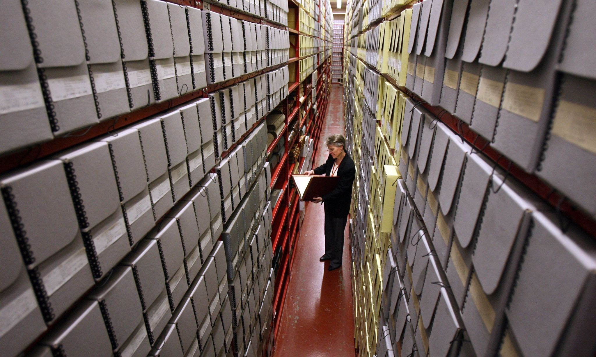
One could describe archives as repositories for all types of media (letters, memos, newspaper articles, photographs, microfilm, etc.) that provide information about the function of an individual person, a group of people, or an organization. I figured that archives might have more information about past projects, such as the failed Jamaica Bay Barrier pamphlet that Joseph D’Amelio had found in his garage.
The answers are in the archives
I began contacting archives across the country to see if they had any information on historical coastal flood protection projects. After calling and visiting roughly a half-dozen locations, I finally got some promising news. An archivist called to tell me that there was a handful of archives in Massachusetts and Rhode Island that had several boxes of documents relating to two coastal flood protection megaprojects. These two megaprojects had emerged simultaneously in Rhode Island following Hurricane Carol in 1954, which at the time was the third major hurricane to hit the region in 16 years.
One of the two projects was the Fox Point hurricane barrier, a closeable flood gate intended to protect downtown Providence, Rhode Island from major floods. It was completed in 1966 and has been deployed several times over the years. The other project was a series of storm surge barriers across the mouth of Narragansett Bay. The Bay barriers ultimately failed to progress beyond the planning stage, after more than ten years of study and deliberation. I thought that if I was able to understand the political and social reasons for these project outcomes, it might offer hope for understanding why some contemporary climate adaptation efforts break ground and why others do not.


While archives may contain treasure troves of information about a subject, it is often not in a coherent format than can be easily interpreted. There are no published books or summaries. Each document is like a random puzzle piece but not necessarily a part of a puzzle that you’re trying to put together. To make matters more complicated, you may not even know what puzzle it is you’re trying to put together! Information is chaotically scattered. One must sift through thousands of documents in order to produce a coherent story. Ultimately, you never really know what you will find in an archive. While it is time consuming, in some ways the uncertainty creates an air of suspense that makes digging through boxes all day a bit more bearable.

What can modern climate adaptation efforts learn from the two Rhode Island projects?
After months of collecting and analyzing materials from the archives, I was able to piece together the first ever historical account of the two Rhode Island projects, from the point of their inception all the way through their ultimate fates (completion and cancellation). Informing the historical account were hundreds of newspaper articles, memos between the Army Corps and elected officials, and letters from businesses and residents from around Rhode Island.
I learned that the Fox Point barrier progressed beyond the planning stage as a result of minimal environmental concerns and strong, sustained support from both the public and Rhode Island’s elected officials. At the time, the waterways around Providence were so polluted that there wasn’t much natural life in the water to protect. I also concluded that the Narragansett Bay barrier project failed to break ground due to strong public opposition. The public opposition was related, in part, to projected increases in channel currents that had the potential to complicate maritime navigation and cause uncertain impacts on marine life. Unlike the waterways around Providence, Narragansett Bay was a rich ecological system on which many communities depended. Further hampering the Bay barrier’s chances was an almost decade long planning period during which the public’s flooding concerns declined.
While these findings had historical significance, by themselves they were not obviously relevant to modern-day projects. Much has changed since the 1960s. Most notably, the emergence of environmental laws has made it much easier to legally challenge government projects that have the potential to impact the natural environment. After assessing a handful of coastal climate adaptation projects that have recently been considered by the Army Corps, some common political and social factors emerged. Most notably, these factors included 1) environmental protection concerns (including modern environmental laws that elevate oppositional viewpoints), 2) a lack of leadership and support from elected officials to help carry projects forward, 3) the allure of alternative options that are more aesthetically pleasing to residents and also cheaper and faster to implement (think beach nourishment and buried levees with promenades on top for biking and walking), and 4) lengthy and complex decision-making procedures that coincide with fading memories of floods.
Looking backwards to go forward
As sea levels continue to rise in coastal cities around the country, the urgency grows for protecting populations and both the built and natural environment. Since the mid-20th century, several years of planning have gone into a number of proposed coastal flood protection projects around the country. While some of these projects have gotten built, many have failed to advance beyond the drawing board. My work has shown that archival research is a viable option to better understanding the political complexity faced by contemporary climate adaptation projects. The more we learn about this complexity, the more we can improve the efficiency with which coastal risk reduction strategies are deployed. For example, instead of investing years of planning into massive, environmentally harmful, and financially risky megaprojects, scarce planning resources could be allocated towards projects that are deemed more palatable by the public, elected officials, and organized interests.
Thanks to the archives, we now have some answers. But the question remains whether the Army Corps and governments will learn from the past and change their behavior. Hopefully Joseph D’Amelio’s grandchildren will one day live in a better prepared version of New York City, one in which Army Corps projects don’t end up as forgotten relics in flooded garages.
D.J. Rasmussen is an engineer, climate scientist, and policy scholar. He studies coastal floods, sea-level rise, and public works strategies for managing their economic and social costs. His research has informed the UN’s Intergovernmental Panel on Climate Change and has been published in Science Magazine as well as other academic journals. He is completing his PhD in the Science, Technology, and Environmental Policy (STEP) Program at the School of Public and International Affairs at Princeton University. A portfolio of his research can be viewed at https://www.djrasmussen.co. He can be reached at dmr2@princeton.edu
